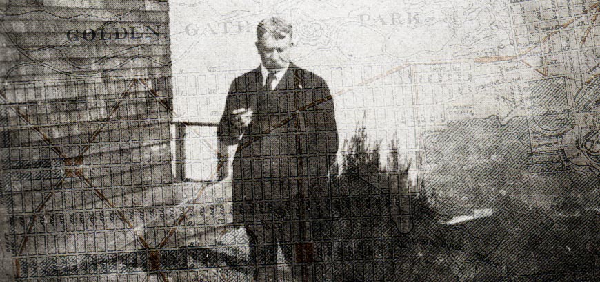
The last comprehensive plan San Francisco had for a greenway network was over a hundred years ago, when architect Daniel Burnham proposed it as part of his comprehensive plan for the City.
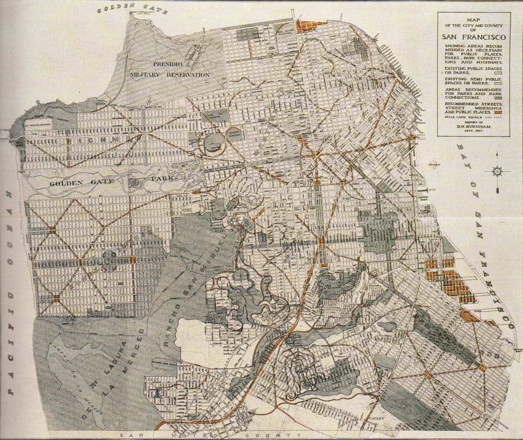
Burham’s plan was released, with great fanfare, just a few weeks before the 1906 Earthquake and Fire. It proposed carving a network of monumental new boulevards and public spaces through the city’s street grid. The plan also proposed that much of what was then undeveloped San Francisco remain as parkland – a great park, for example, would have swept from Twin Peaks to Lake Merced, and the canyon of Islais Creek, now occupied by Interstate 280, would have been a canyon park like Washington DC’s Rock Creek Park.
Although the 1906 Earthquake and Fire devastated two-thirds of San Francisco, the Burnham Plan’s vision for an integrated system of boulevards and parks was largely ignored, and the city’s subsequent development left the city’s parks largely separate from one another.
Livable City’s Greenway Network proposal seeks to capture the spirit of the Burnham Plan by connecting the city’s parks through reclaiming utility easements and street and freeway rights-of-way as public spaces, and by transforming the city streets into a pedestrian-oriented network of boulevards and green neighborhood streets.

