Livable City’s Greenway Network campaign is creating a linked-up open space system for San Francisco of landscaped boulevards, green streets, and linear parks which link the city’s neighborhoods to one another, and to our major parks, wildlife corridors, waterfront, and public transit hubs. The Network will serve as sustainable transportation infrastructure (walking, bicycling, and public transit), and provide stormwater infiltration and management, natural habitat, recreation, and neighborhood economic development.
In 2015, the campaign will focus on the three regional trails – Ridge Trail, Coast Trail, and Bay Trail – that cross San Francisco, as well as Golden Gate Park. We will also work to strengthen city plans and policies that foster greenways, open space, biodiversity, and healthy watersheds.
The Ridge Trail and San Miguel Hills
The Bay Area Ridge Trail is a proposed 550-mile trail encircling San Francisco Bay. 350 miles of the trail have public access. In San Francisco, the Ridge Trail runs mostly on city streets, from the Golden Gate Bridge to Fort Funston, via Buena Vista Park, Twin Peaks and Stern Grove.
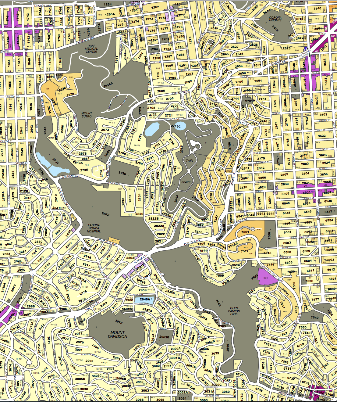
Livable City’s vision is to create a continuous public open space in the San Miguel Hills, San Francisco’s central range of hills that extends between Golden Gate Park and Glen Park, and includes Twin Peaks, Mt. Sutro, Mt. Davidson, Glen Canyon, and Laguna Honda. Our vision for the San Miguel Hills includes hilltop and canyon open spaces, restored streams and natural lakes, and a network of trails for walking and cycling. It would include the Ridge Trail, as well as branches to Golden Gate Park via Laguna Honda and Mt. Sutro, and to McLaren park via Glen Canyon. In 2015, we will work to:
- Secure public access around Sutro Tower as a condition of the proposed antenna expansion on the tower.
- Support Glen Park Association’s plan for a Glen Park Greenway, extending from Glen Canyon Park to Diamond Street.
- Make it city policy to preserve, connect, and restore the various publicly owned lands in the San Miguel Hills.
The Bay Trail
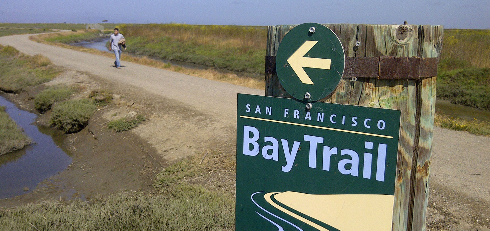
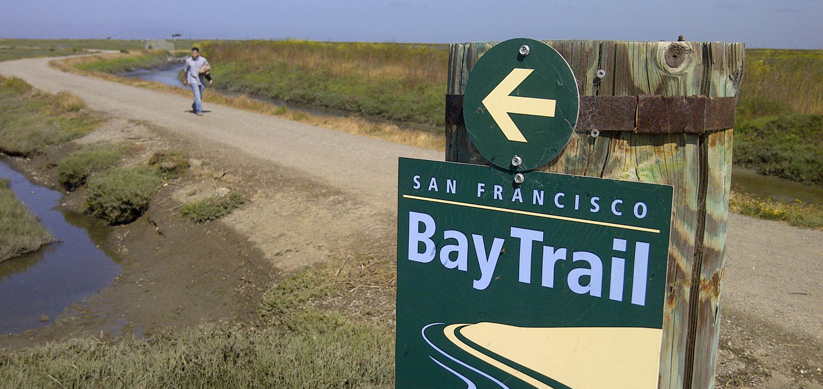
The San Francisco Bay Trail is a regional project to create a walking and cycling path that encircles San Francisco and San Pablo bays, including several bridges. 340 miles of the planned 500 miles are complete. In San Francisco, the Bay Trail runs along the eastern shoreline from the Golden Gate Bridge to the San Mateo County line. In 2015, Livable City will work to:
- Improve the public spaces around the Ferry Building. The public spaces surrounding the Ferry Building are the most accessible waterfront public spaces in the region, located at the nexus of bus, BART, light rail, and ferry lines. Livable City has helped defeat two proposals to turn the Ferry Building Plaza into a parking lot. Last year, we participated in a design charette to identify near- and longer-term improvements to the plaza.
- Improve bicycle and pedestrian access to The Embarcadero, including completing a plan for an Embarcadero bikeway and complementary improvements to pedestrian crossings of the Embarcadero to connect the landslide neighborhoods to the waterfront.
- Complete the Bay Trail connection past the Marina Yacht harbor with a protected bicycle and pedestrian trail.
- ensure world-class bicycle and pedestrian connections along Terry Francois Boulevard.
- Advance plans for the public open spaces in the voter-approve plan for Pier 70
- Reaffirm the city’s Bay Trail resolution, create an inter-departmental action plan to complete the Bay Trail from the Golden Gate Bridge to the San Mateo County line.
The Coast Trail
The California Coastal Trail is a planned 1200-mile trail along California’s shoreline. It is roughly half complete. In San Francisco, SPUR’s Ocean Beach Master Plan proposes improving walking and cycling along San Francisco’s Ocean edge, and addressing coastal erosion and sea-level rise by restoring dunes and removing vulnerable and ill-sited roads and parking lots. In 2015, Livable City will advocate for near-term improvements to enhance walking and cycling access, protect and restore the coastal environment, and that support Sunday Streets events on the Great Highway and Golden Gate Park, including:
- Closing Great Highway south of Sloat Boulevard, and replacing it with a pedestrian and bicycle path.
- Pedestrian safety improvements at the Lincoln/Great Highway intersection.
- Signage to direct traffic to alternate routes when Great Highway is closed by sand (approximately 60 days per year), or for planned open streets events like Sunday Streets.
Golden Gate Park
Golden Gate Park is San Francisco’s largest public park. However, parts of the park suffer from poor pedestrian and bicycle access and speeding traffic, and the roads bordering the Park – Lincoln, Stanyan, Fulton, Oak, and Fell – are dangerous, high speed roadways that separate the park from the City. Golden Gate Park will celebrate its 150th Anniversary in 2021, and needs a 21st-Century update to its Master Plan to improve pedestrian and bicycle and pedestrian access to and through the park, reduce speeding and traffic danger, facilitate regular car-free space on JFK Drive, and transform Lincoln, Fulton, Stanyan, Oak, and Fell streets into safer, greener streets that support walking, cycling, and transit access to and around the park.
Plans and policies
Several key city open space policies are up for renewal or adoption in 2015. Strong policies provide essential support for preserving and enhancing open spaces, recreation, and biodiversity, and greening the city’s streets. in 2015 we will:
- support adoption of the General Plan’s Recreation and Open Space Element.
- support a strong Urban Forest Plan, including a funding and maintenance strategy for the city’s street trees.
- advance the city’s biodiversity strategy.

